
What’s the Difference Between Google Maps and Google Earth?
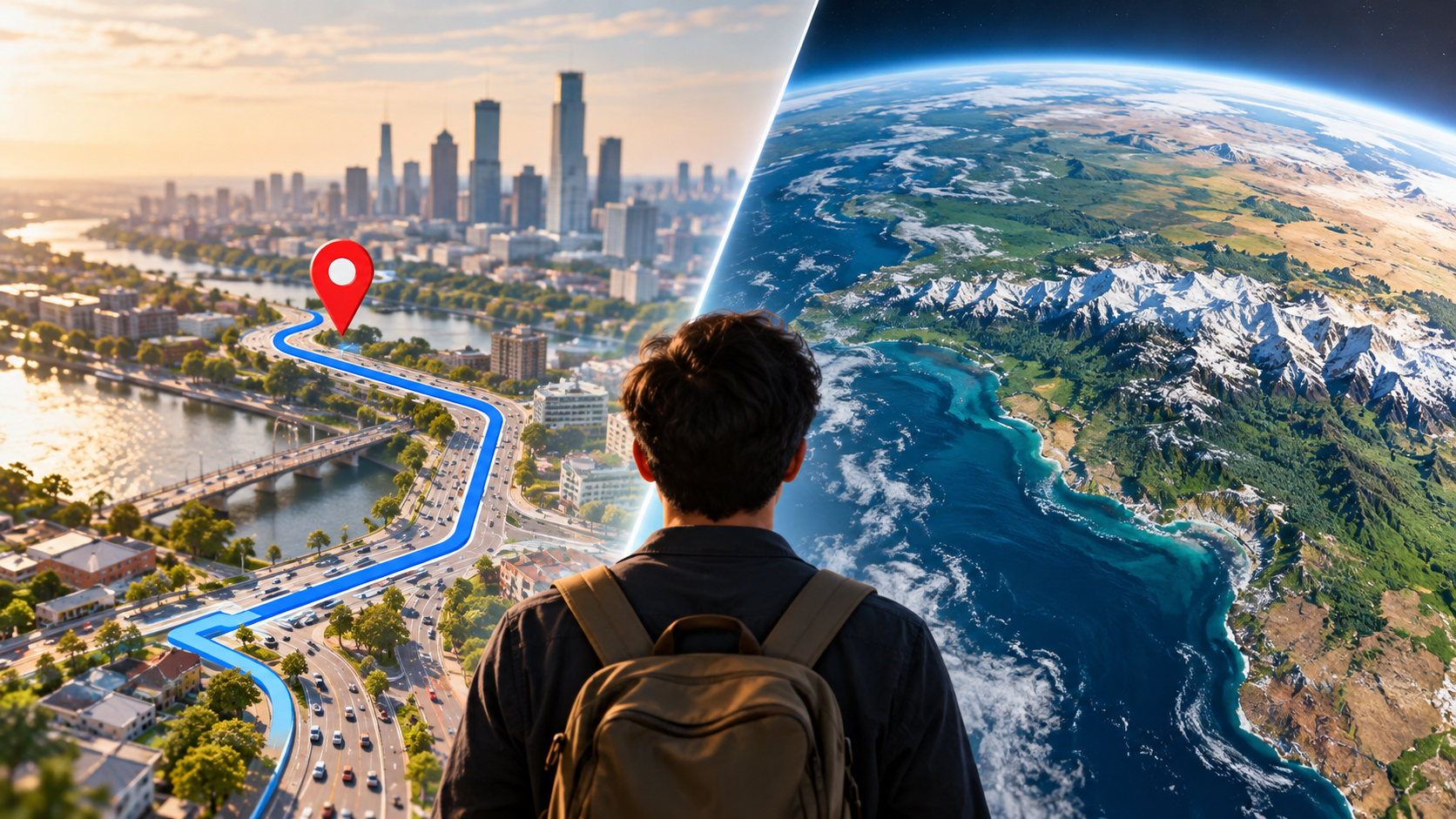
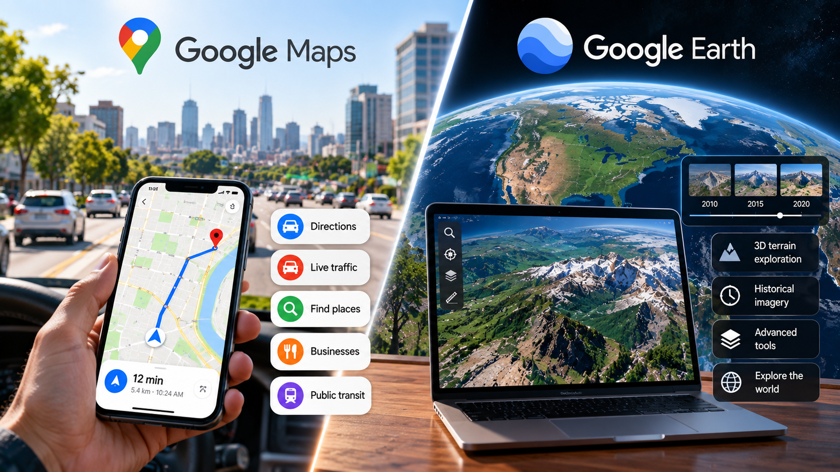
Understanding the difference between Google Maps and Google Earth starts with their different purposes. Both use extensive geospatial data, but they serve different needs. Google Maps focuses on navigation, directions, traffic, and local business discovery. Google Earth focuses on exploring the planet through satellite imagery, 3D terrain, and geographic visualization.
Choosing the right platform can save time. Google Maps works better when you need directions, nearby businesses, or traffic information. Google Earth is more useful for exploring landscapes, examining terrain, and viewing locations from a global perspective. You can also explore Google’s official features and guidance through the Google Earth Help Center.
The two services also differ in how they present geographic information. Maps emphasizes roads, routes, addresses, transit, and places. Earth provides a more immersive view of landscapes and geographic features.
This guide explains the key differences between Google Maps and Google Earth. It also answers common questions about accuracy, professional mapping tools, the Titanic, planets, and viewing your home.
Which Is More Accurate, Google Maps or Google Earth?
The answer depends on what you mean by accuracy. Google Maps generally works better for everyday navigation because it focuses on roads, routes, addresses, traffic, and local places. Its navigation data can also reflect reported road changes, closures, and traffic conditions.
Google Earth focuses more on visual and geographic accuracy. It combines satellite and aerial imagery with terrain and elevation data. This makes it useful for understanding landscapes, mountains, coastlines, and large geographic areas.
For driving, Google Maps is usually the more appropriate choice. It provides route planning, turn-by-turn navigation, traffic information, and road-related details. If you are comparing navigation platforms, Apple Maps or Google Maps can help you understand how the two services differ. Google Earth is better suited to visual exploration and geographic study.
How Data Updates Affect Accuracy
The two platforms also handle updates differently. Google Maps can reflect changes to roads, businesses, traffic, and other local information relatively quickly. Google Earth imagery can remain available for longer periods before newer imagery replaces it.
This means a road may look different in Google Earth than it does in Google Maps. Imagery dates can also vary between locations. Neither platform should be treated as a continuously updated photographic record of the entire planet.
Are There Better Maps Than Google Earth?
There is no single best alternative to Google Earth for every purpose. The right platform depends on what you need to accomplish. Google Earth is designed mainly for geographic exploration and visual storytelling. For students and educators, exploring geography can also become more engaging through activities that make geography memorable. Other platforms provide deeper tools for mapping, spatial analysis, or community-generated geographic data.
Professional GIS software such as ArcGIS and QGIS provides tools for analyzing geographic datasets. Users can create custom layers, examine spatial relationships, and work with specialized environmental or infrastructure data. These capabilities go far beyond basic geographic exploration.
OpenStreetMap takes a different approach. It is a community-driven geographic database containing roads, paths, trails, buildings, and other mapped features. In some areas, contributors provide detailed information that may be useful for hiking and local mapping.
Google Earth remains useful when you want an accessible 3D globe and satellite imagery experience. Professional GIS tools are more appropriate when you need advanced spatial analysis.
When Should You Choose Professional GIS Software?
Choose dedicated GIS software when your project requires detailed geographic analysis. These tools can work with multiple data layers and specialized datasets.
Common use cases include:
- Environmental analysis and land-use studies
- Infrastructure and urban planning
- Mapping natural resources
- Examining geographic changes over time
- Creating custom geographic datasets
- Analyzing relationships between different locations
Google Earth can help you understand a location visually. GIS platforms provide more control over the underlying geographic data and analysis.
For casual exploration, Google Earth is usually simpler. For professional spatial research, specialized GIS software offers more analytical capabilities.
Is the Titanic Visible on Google Earth?
You cannot view the Titanic wreck directly through satellite photography in Google Earth. The wreck lies about 3,800 meters below the surface of the North Atlantic Ocean. Visible-light satellite imagery cannot photograph the shipwreck through that depth of seawater.
Google Earth can still display information about the Titanic’s location. Its ocean visualization uses bathymetric data to represent parts of the seafloor. This creates a digital representation of underwater terrain rather than a photograph of the wreck itself.
The Titanic’s approximate location is 41.73° N, 49.95° W. When you explore this area, you should not expect to see detailed images of the ship. You may instead encounter geographic information, ocean-floor data, or user-created markers.
Actual images and surveys of the wreck come from specialized underwater exploration. Researchers use remotely operated vehicles, autonomous systems, and crewed submersibles for detailed inspections.
How Marine Bathymetry Represents the Ocean Floor
Bathymetry measures the depth and shape of underwater terrain. Researchers commonly collect bathymetric information using sonar systems mounted on ships or underwater equipment.
Google Earth can use available oceanographic datasets to create a visual representation of the seafloor. The result helps users understand underwater ridges, trenches, and other geographic features.
However, this representation should not be confused with underwater photography. A digital seafloor model shows geographic elevation and depth rather than the physical appearance of objects sitting on the seabed.
To see detailed photographs or video of the Titanic, you need sources from marine expeditions and underwater exploration projects.
Can I See Planets on Google Earth?
Yes, Google Earth has offered ways to explore celestial bodies and astronomical imagery. Google Earth Pro has historically included options for exploring the Moon and Mars, while its Sky feature provides views of astronomical objects and the night sky.
These features let users move beyond Earth’s surface. Depending on the version and available imagery, you can explore lunar landscapes, Martian terrain, and astronomical objects through specialized visual datasets.
The imagery comes from scientific and space-observation missions rather than ordinary Earth satellite photography. Space agencies have collected much of the underlying data used for these types of visualizations.
Google Earth can therefore function as more than a conventional mapping application. It can also provide an educational way to explore geographic and astronomical environments.
However, available features can change between versions and platforms. If a specific celestial mode is missing, check Google’s current documentation for availability.
How to Access Google Earth’s Celestial Features
In supported versions of Google Earth, celestial exploration can be accessed through the application’s available planet or astronomy options. The exact interface may vary between Google Earth versions.
You can use these features to explore:
- The Moon and its surface features
- Mars and its terrain
- The night sky and astronomical objects
- Images and information associated with space missions
These modes provide an educational way to explore locations beyond Earth. They should not be confused with live astronomical observations.
Can I See My House in Real Time on Google Earth?
No. Google Earth does not provide a live satellite view of your house. The imagery shown on the platform comes from satellite and aerial sources collected at different times.
This means the image you see represents a particular point in time. It may be weeks, months, or even years old, depending on the location and available imagery.
Google Earth can therefore help you examine your neighborhood from above. It cannot function like a live security camera pointed at your property.
Imagery also varies by location. Some areas receive newer imagery more frequently than others. Google combines imagery from different sources and dates to provide broad geographic coverage.
If you need current information about roads or traffic, Google Maps is usually more useful. However, even Google Maps should not be treated as a live satellite-video service.
Why Live Satellite Views Are Not Available
Continuous live satellite imagery of every property would require enormous amounts of data and infrastructure. Satellites also move along their orbits rather than remaining fixed above one location.
Clouds and atmospheric conditions can further limit optical satellite imagery. A satellite may also pass over a location only at particular intervals.
For these reasons, consumer mapping services generally provide periodically collected imagery, not continuous live video.
If you want to check the age of imagery, Google Earth can provide imagery information for supported locations. This helps you understand when the displayed image was captured.
In short, Google Earth shows geographic imagery from specific collection dates. It does not provide a real-time view of your home.
Conclusion
The difference between Google Maps and Google Earth mainly comes down to what you want to do. Google Maps is designed for practical tasks such as finding places, planning routes, checking traffic, and navigating unfamiliar roads. Google Earth takes a more visual approach, helping you explore satellite imagery, 3D terrain, landmarks, and geographic features around the world.
Neither platform replaces the other. Google Maps is the better fit for everyday navigation, while Google Earth is better for geographic exploration and visual learning. Their imagery and data can also vary by location and update time, so neither should be treated as a live view of the planet.
If you need directions or current road information, start with Google Maps. If you want to explore landscapes, compare locations, or understand Earth’s geography, Google Earth is the more suitable tool. Knowing this distinction makes it easier to choose the right platform for each task.